top of page
Take advantage of advanced 3D LiDAR technology for architecture, construction, and the creative industries.
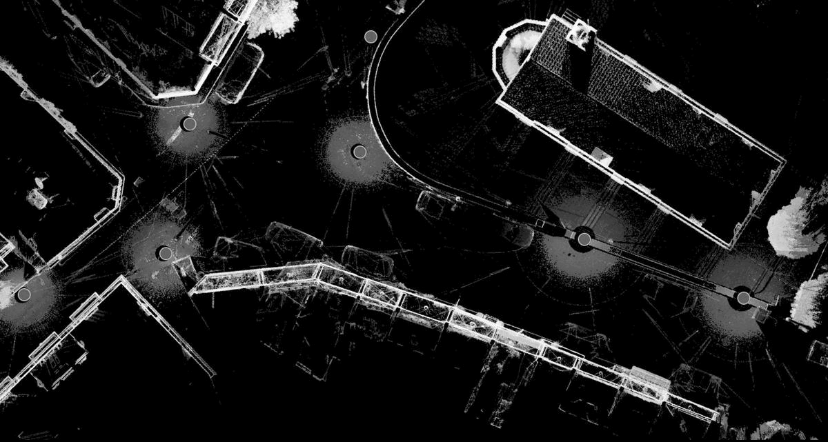
LiDAR (Light Detection and Ranging) scanning is a remote sensing technology that uses laser light to measure distances. By emitting laser pulses and analyzing the light that bounces back, LiDAR creates precise, high-resolution 3D maps and models of environments, objects, or terrain. Commonly used in fields like autonomous driving, environmental mapping, and construction, LiDAR provides accurate spatial data that supports applications in surveying, archaeology, forestry, and urban planning.
LiDAR is an industry standard 3D survey technology, and a reliable method to generate digital twin's due to it's rapid data collection and data accuracy.
Check our blog for more info here: https://www.cloudyworks.net/post/explained-3d-capturing-methods


What is LiDAR
cases


1/1
get started
Nicosia, Cyprus / Athens, Greece
+357 99 927768 _ Demetris Ktorides
+357 99 284779 _ Evripides Mytilineos
London, United Kingdom
+44 7 848 890 388 _ Myy Tran
+44 7 463 900 077 _ Mert Ozbolat
bottom of page