
From 3D Scanning to
As-Built documentation.
3D surveying creates a detailed digital record of existing conditions, reducing the need for repeated site visits and allowing plans, sections and elevations to be developed from the same coordinated dataset.
Terrestrial LiDAR scanning is used to capture buildings and complex environments with high geometric detail, while UAV photogrammetry extends the survey to roofs, facades and larger sites.
Depending on the project requirements, deliverables may include registered point clouds, measured CAD drawings, BIM models, orthophotos, 360° imagery and digital twins prepared for architectural, engineering, conservation and creative workflows.
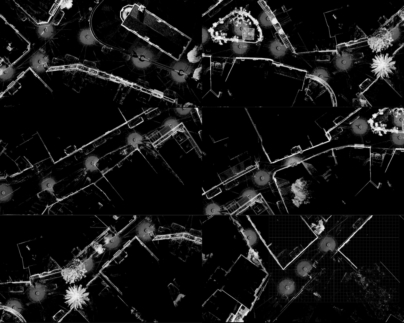
We capture existing buildings, sites and complex spaces using terrestrial LiDAR scanning, delivering registered, measurable point clouds for documentation, design and analysis.

We produce measured CAD plans, sections and elevations directly from registered 3D survey data, prepared for design, renovation, planning and conservation.

We produce structured BIM models from registered point clouds, developed to an agreed scope and level of detail for design, coordination and asset documentation.

We produce structured BIM models from registered point clouds, developed to an agreed scope and level of detail for design, coordination and asset documentation.

We register, clean and quality-check externally captured laser-scan data, delivering coordinated point clouds ready for CAD, BIM, visualisation and archival use.

We provide interactive access to registered point clouds and panoramic scan imagery through Leica TruView, allowing project teams to navigate, measure, annotate and review surveyed spaces remotely.


